Routes · 8 min read · Updated 2026-10-29
Darwin to Alice Springs by campervan, with the Uluru detour
The Stuart Highway is 1,500km of straight road between Darwin and Alice Springs, and it is either the most boring drive in Australia or one of the best, depending entirely on how many detours you take. Take the detours.
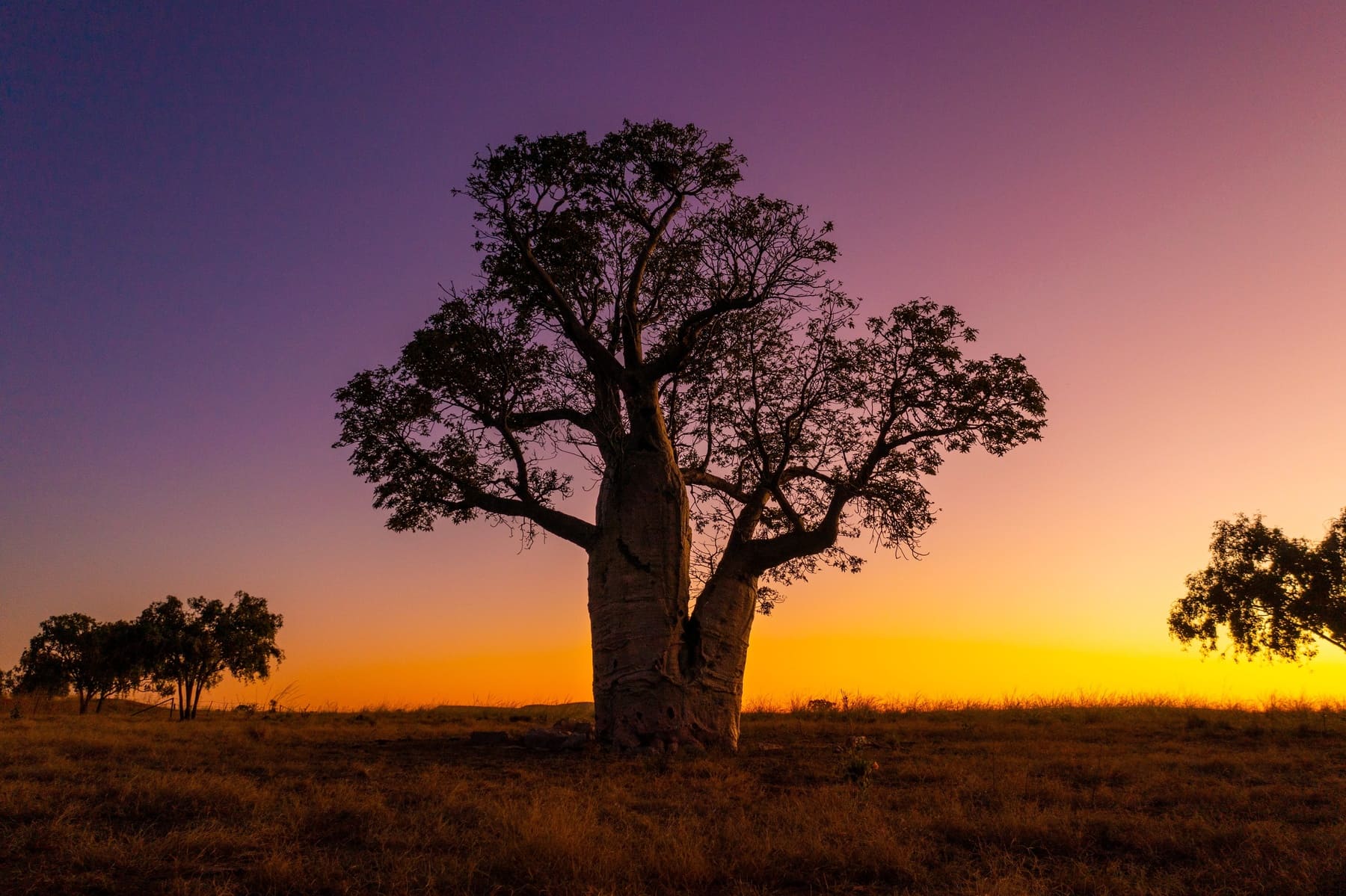
In this guide
- 01 Kakadu first, before you leave the Top End
- 02 Litchfield on the way back
- 03 South on the Stuart: Katherine to Tennant Creek
- 04 The Uluru detour
- 05 Heat, water and distance
- 06 Wet season reality
Kakadu first, before you leave the Top End
Kakadu is 250km east of Darwin and deserves three days minimum. Ubirr at sunset, Nourlangie for the rock art, Yellow Water for the birds and the crocs. Jim Jim and Twin Falls need a 4WD and are only open in the dry season.
If you are in a two-wheel-drive campervan, the sealed loop covers Ubirr, Nourlangie and Yellow Water perfectly well. Pick up in Darwin and go straight there rather than spending a night in the city.
Litchfield on the way back
Litchfield is smaller, closer and in some ways better — Florence Falls, Buley Rockhole, Wangi Falls. It is a genuine day trip from Darwin and a good first or last stop.
The swimming holes close when the creeks flood. In the wet season, check before you drive out.
South on the Stuart: Katherine to Tennant Creek
Katherine for the gorge — a boat cruise through the first two gorges is the easy option and worth it. Then Mataranka for the thermal pools, which are exactly as good as everyone says and better at dawn before the tour buses.
Tennant Creek is a fuel stop and the Devils Marbles are 100km south. Camp near the Marbles and watch the light change at sunset; it is the best free camp on the highway.
The Uluru detour
From Alice Springs, the loop to Uluru, Kata Tjuta and Kings Canyon is about 1,400km return and needs five to seven days. The Lasseter and Stuart Highways are sealed. The Mereenie Loop between Kings Canyon and Glen Helen is not, and needs a 4WD and a permit.
Uluru itself is a three night stay if you want the base walk, the cultural centre, the Field of Light and both sunrise and sunset. Kata Tjuta's Valley of the Walks is the better hike of the two.
Heat, water and distance
This is the route where the heat is genuinely dangerous. Between November and March, daytime temperatures routinely exceed 40C and some walks close by mid-morning. Carry at least ten litres of water per person beyond what the vehicle holds.
Fuel gaps are long and phone coverage is patchy. Fill up at every town, tell someone your route, and do not drive at dusk or dawn — the wildlife on the Stuart Highway is substantial and mostly invisible until it is on the bonnet.
Wet season reality
From December to March the Top End is hot, humid and wet. Kakadu's southern sections and many unsealed roads close. The highway itself stays open, but the trip you planned on the internet may not be the trip you can drive.
Ready to price it
Check live availability for your dates
Rates move with season, class and pickup city. The booking engine shows the real price for the dates you actually want.
FAQ
Questions about this
How long is the drive from Darwin to Alice Springs?
About 1,500km. Six to eight days allows Kakadu, Litchfield, Katherine, Mataranka and the Devils Marbles.
Can you drive to Uluru in a two-wheel-drive campervan?
Yes. The highways to Yulara are sealed. The Mereenie Loop needs a 4WD and a permit.
When is the best time to drive the Stuart Highway?
May to September, the dry season. Summer heat and wet season road closures make it much harder.
More guides
All guides →

Find a camper for your trip
For drivers aged 21 and over. Continue to Wicked Campers for availability and prices.